The oil market continues its cautious rally but more uncertainty lies ahead News & InsightsSectorsSubsectors The oil market continues its cautious rally but more uncertainty lies ahead
Westwood Webinars – Westwood Macro Outlook Q2 2020 News & InsightsSectorsSolutionsSubsectors Westwood Webinars – Westwood Macro Outlook Q2 2020
Westwood Webinars – Using satellite imagery for activity analysis News & InsightsSectorsSolutionsSubsectors Westwood Webinars – Using satellite imagery for activity analysis
Sub-$30/bbl WTI drastically alters the US unconventional supply chain News & InsightsSectorsSolutionsSubsectors Sub-$30/bbl WTI drastically alters the US unconventional supply chain
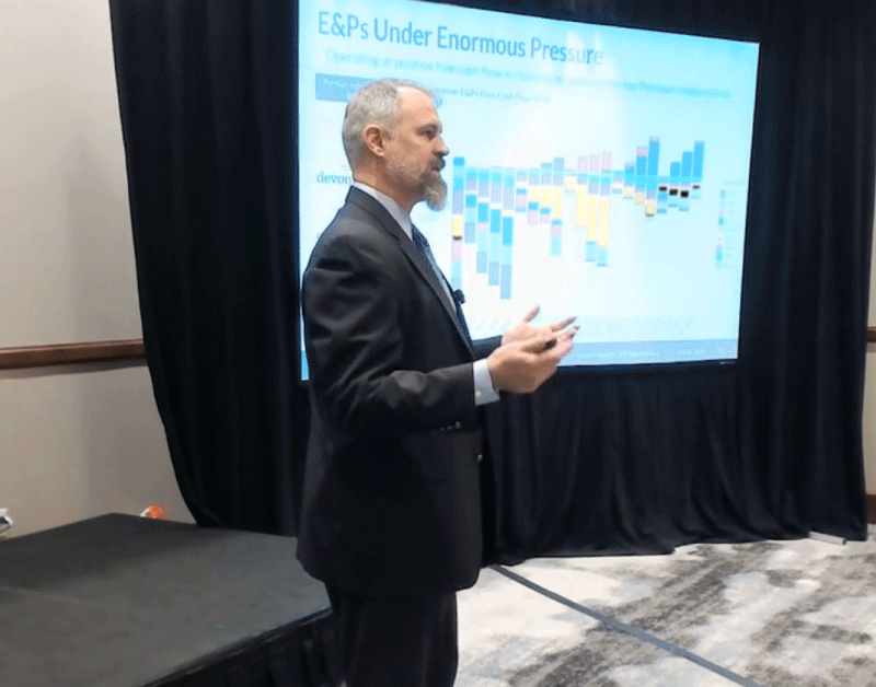
Protected: Onshore Insights 2020 – Video On Demand News & InsightsSectorsSolutionsSubsectorsUncategorized Protected: Onshore Insights 2020 – Video On Demand
World Drilling & Well Services Market Forecast 2019-2023 Q3 ReportsSectorsSolutionsSubsectors World Drilling & Well Services Market Forecast 2019-2023 Q3
Westwood releases joint white paper with PPI News & InsightsReportsSectorsSolutionsSubsectors Westwood releases joint white paper with PPI
Are there really 4,000 DUC’s in the Permian? There might be less than you think. BlogNews & InsightsSectorsSolutionsSubsectors Are there really 4,000 DUC’s in the Permian? There might be less than you think.
US Drilling & Completion Outlook Q2 2019 ReportsSectorsSubsectors US Drilling & Completion Outlook Q2 2019
Eagle Ford Water Disposal Due Diligence Business DivisionNews & InsightsSectorsSolutionsSubsectors Eagle Ford Water Disposal Due Diligence